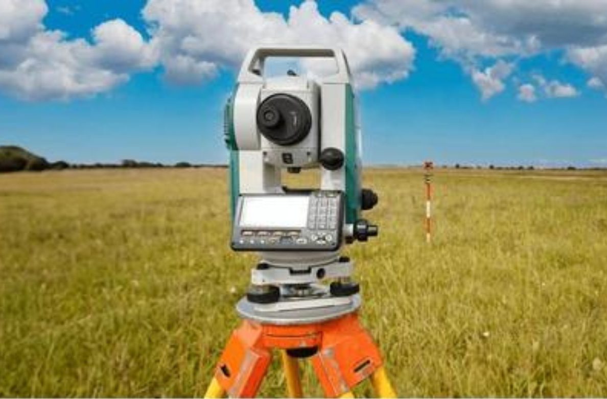
1. Topographic Survey
We are professionals who do topographic surveys with skilled staff. A topographical survey is an accurate depiction of a site's Buildings and structures, Trees bushes and vegetation positions, Water channels, Ground heights, contours and surfaces, Drainage features, Water levels, and Features adjacent to the site.
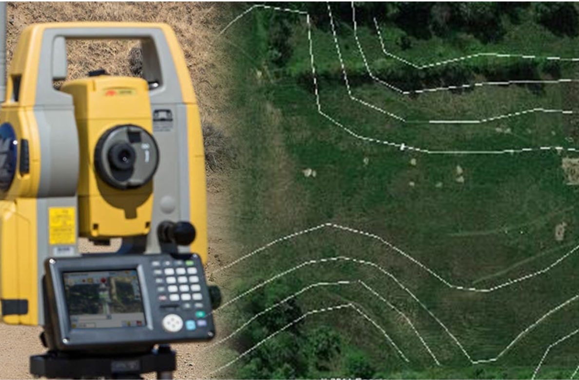
2. Contour Survery
Build99 is renowned for delivering Contour Survey services to its clients. A contour survey is a method for assessing the slope of your land and identifying all existing features (such as trees, vegetation, neighboring properties, visible services, and easements). Before commencing any construction, it's crucial to determine

3. Building Survey
Build99 offers comprehensive building survey services. Building survey involves marking and skating out works. This helps accurately translate the building design onto the land is crucial. This involves meticulously interpreting construction plans and marking the locations of proposed structures like excavation marking,

4. Drone Survey
We conduct superior drone surveying for different areas like land, railway, forest, and Mining. Drone Survey is an aerial survey conducted using drones and special cameras to capture aerial data with downward-facing sensors. It is necessary to accurately locate the positions of points on the ground to handle

5. As buit Survey
We provide high-quality as-built survey services. An as-built survey involves conducting geometric surveys on a building during and after its construction to create detailed drawings, including 2D and 3D models, that accurately represent the building at that specific point in time. This survey is also used to ensure
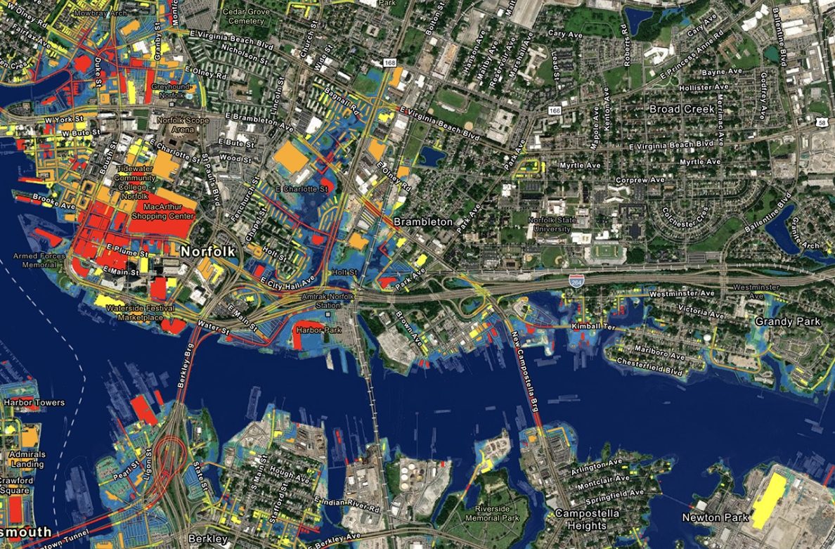
6. GIS Mapping
Build99 is known for its GIS Mapping. A Geographic Information System (GIS) is a computer-based platform designed for capturing, storing, verifying, and displaying data related to locations on the Earth's surface. GIS can integrate various types of data, such as streets, buildings, and vegetation, onto a single map.
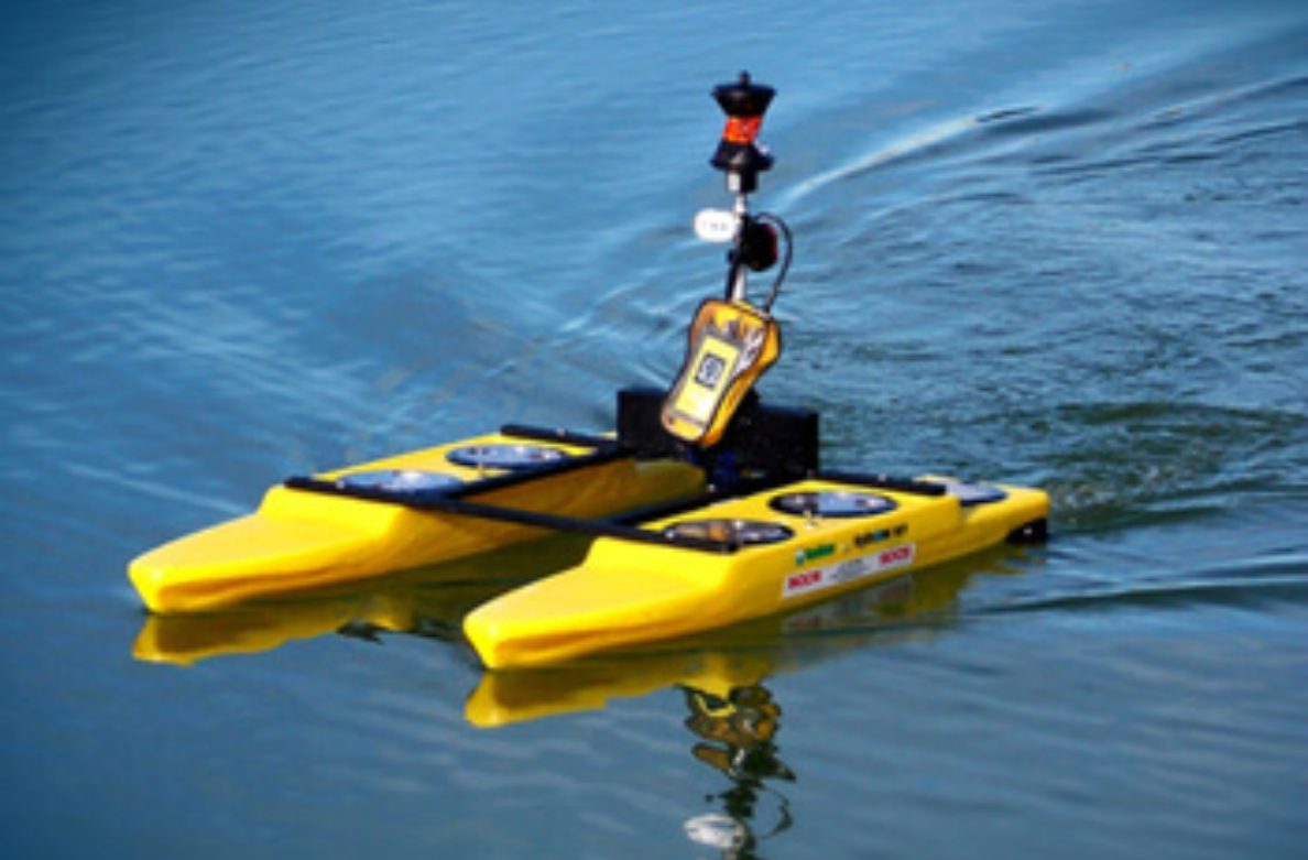
7. Bathymetric Survey
Our experienced staff are proficient in conducting bathymetric surveys. A bathymetric survey maps underwater terrain by measuring the depth and topography of water bodies like streams, rivers, lakes, ponds, and seas. Utilizing tools like echo sounders and sonar systems, it provides essential data for marine
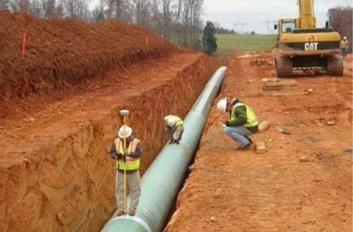
8. Pipeline Survey
Our skilled team is specialized in pipeline surveys. A pipeline survey involves inspecting and mapping the route and condition of pipelines. It ensures accurate installation, assesses structural integrity, and measures depth to comply with safety regulations. Using tools like GPS and geophysical equipment,

9. Road Survey
At Build99, we offer comprehensive road survey services designed to meet your project needs at a low budget. Our expert team uses advanced techniques to conduct accurate road surveys, ensuring precise measurements and data collection. We are committed to delivering timely results, completing the work within the given